Arusha National Park lies roughly 25–45 minutes northeast of Arusha town, making it the closest national park to the city and a natural first or last stop on a northern-circuit safari. Despite being one of Tanzania’s smallest parks, it packs in three distinct landscapes: the Meru Crater and Jekukumia River to the west, beneath the peak of Mount Meru; the grassy Ngurdoto Crater, often nicknamed “Little Ngorongoro,” in the southeast; and the shallow, alkaline Momella Lakes in the northeast.
The park was first established in 1960 as Ngurdoto Crater National Park, protecting only the crater itself. In 1967 it was expanded to include Mount Meru and the Momella Lakes and renamed Arusha National Park. Meru, at 4,566m, is Tanzania’s second-highest peak after Kilimanjaro, whose snow-capped summit is visible from the park on a clear day, some 60 km to the east.
Because it has no resident lion population, Arusha is one of the few parks in Tanzania where guided walking safaris and canoeing on the Momella Lakes are both permitted — a rare chance to experience an East African park on foot and on the water, not just from a vehicle.
Mount Meru through the seasons
Tap a season on the loop to see how conditions change for viewing Meru's summit and exploring on foot.
January – February
A brief clear spell
A short dry interlude between the rains often brings clear morning views of Mount Meru and Kilimanjaro, before afternoon cloud builds.
Good to know: Arusha National Park has no resident lion population, which is exactly why it’s one of the few Tanzanian parks where guided walking safaris are permitted — always with an armed ranger.
Who you'll meet in the forest and on the lakes
Arusha’s compact size hides remarkable variety — montane forest primates, crater grassland herbivores, and lake-fringing flamingos, all within a single small park.
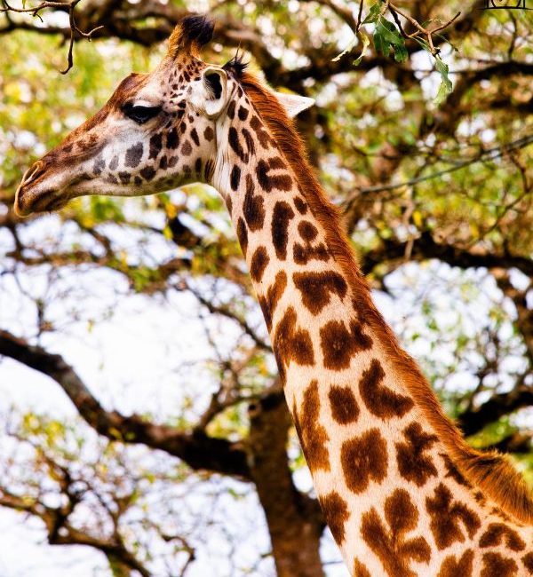
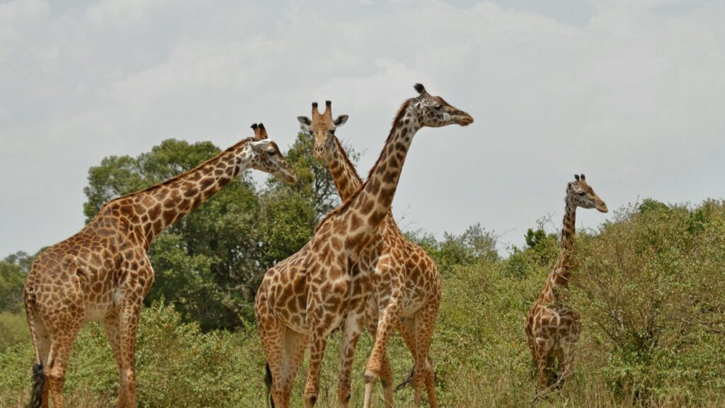
Maasai Giraffe
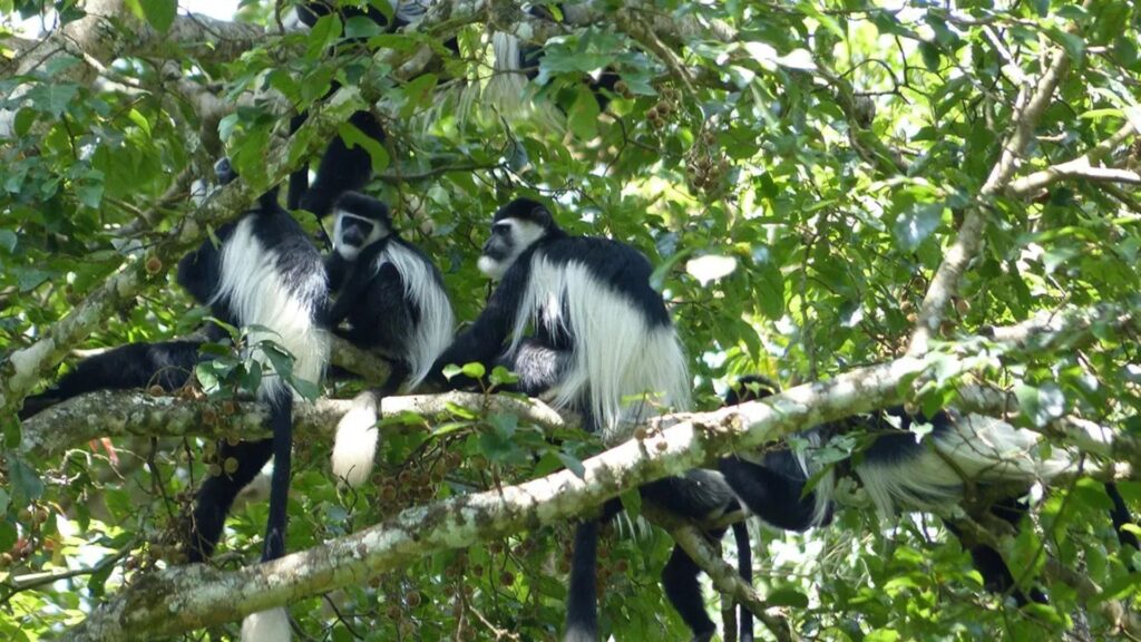
Black-and-White Colobus Monkey
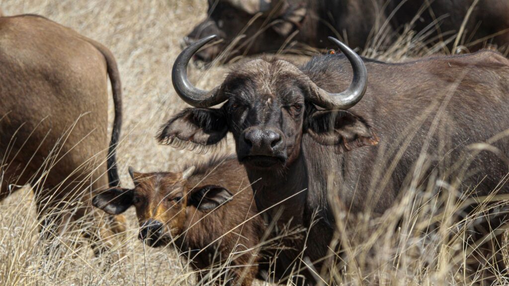
Cape Buffalo
Flamingo
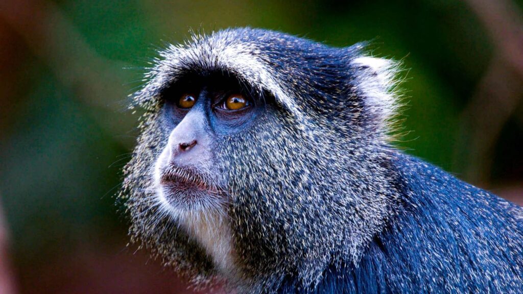
Blue Monkey
Predator
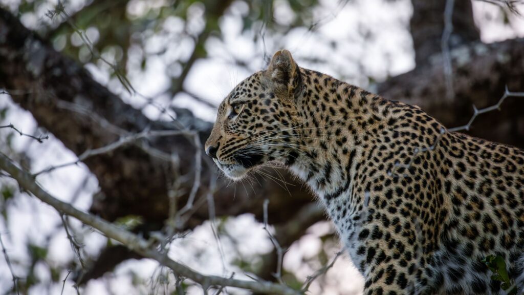
Leopard
Panthera pardus
Elusive and rarely seen, leopards range across Mount Meru’s forested slopes. Notably, the park has no resident lions.
Predator
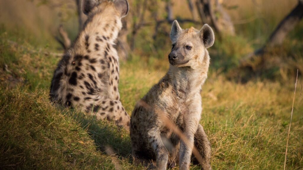
Spotted Hyena
Crocuta crocuta
Present in modest numbers across the park’s grassland and forest edges.
Primate
Black-and-White Colobus Monkey
Colobus guereza
A montane forest specialist, most reliably spotted in the trees near Ngurdoto Museum.
Primate
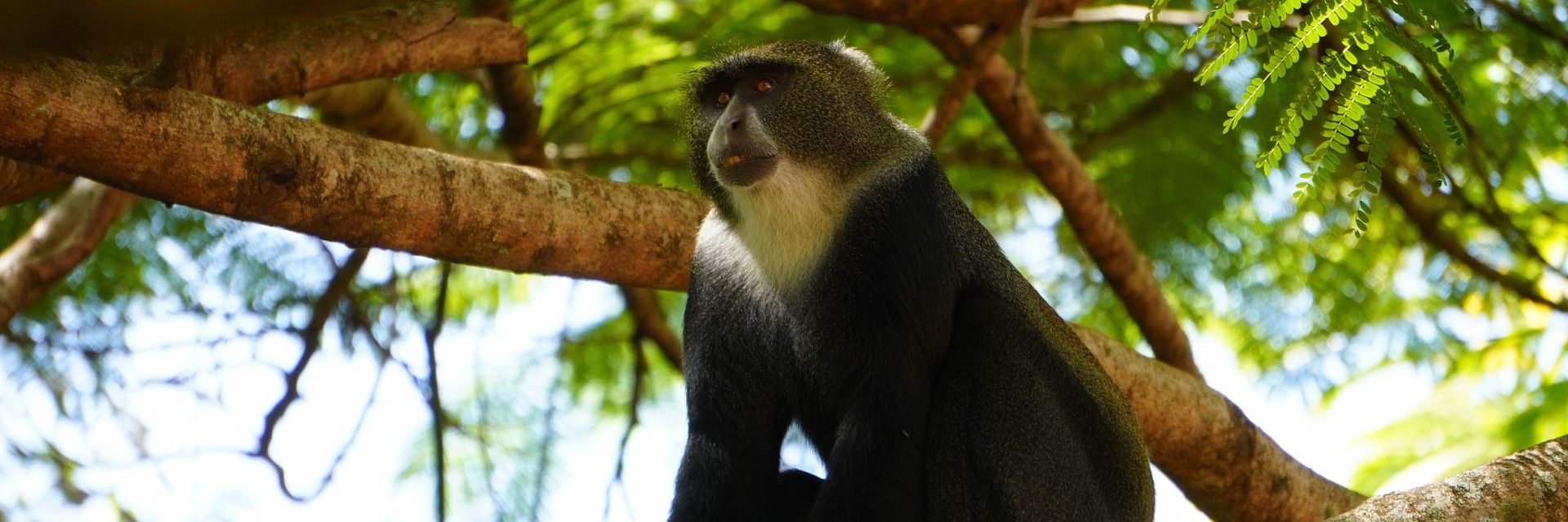
Blue Monkey
Cercopithecus mitis
Common in the shaded forest around the park entrance, often heard calling before they’re seen.
Herbivore
Maasai Giraffe
Giraffa tippelskirchi
Frequently seen wandering the open grassland plains beneath Mount Meru.
Herbivore
Cape Buffalo
Syncerus caffer
Buffalo Glade, near the Momella gate, is a reliable feeding ground for herds of buffalo, giraffe, and warthog.
Herbivore
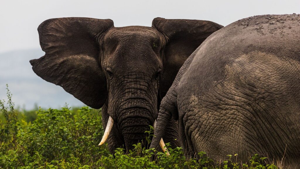
African Bush Elephant
Loxodonta africana
Present but less commonly seen here than in Tanzania’s larger parks, favouring the denser forest zones.
Wetland wildlife
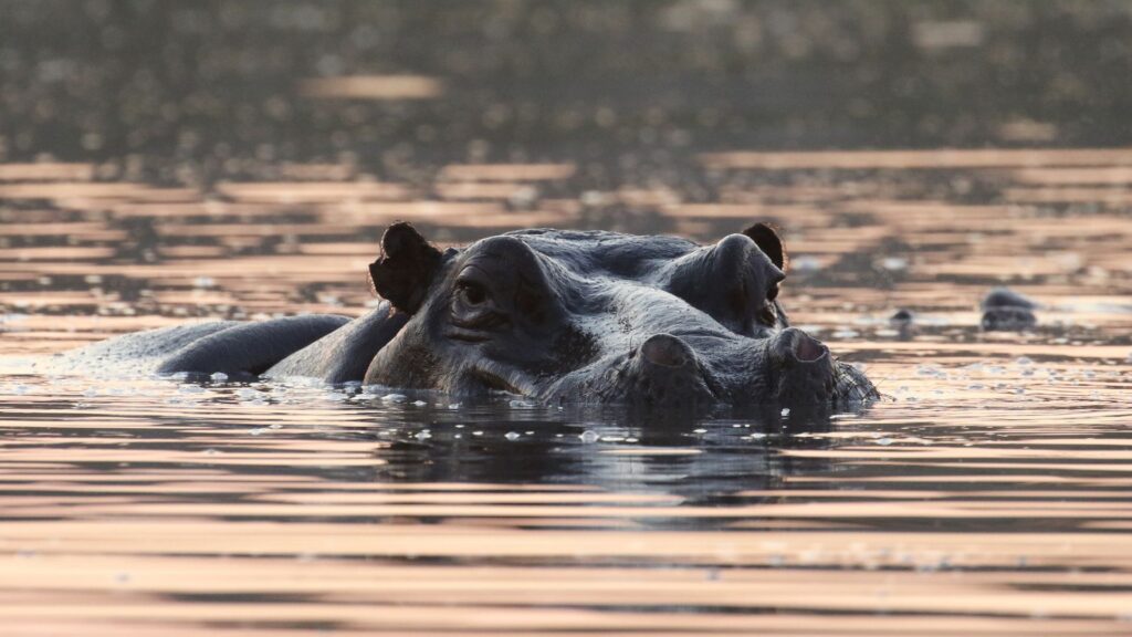
Hippopotamus
Hippopotamus amphibius
Small numbers occupy the Momella Lakes, first noted by European explorers visiting the area in the 1870s.
Wetland birdlife
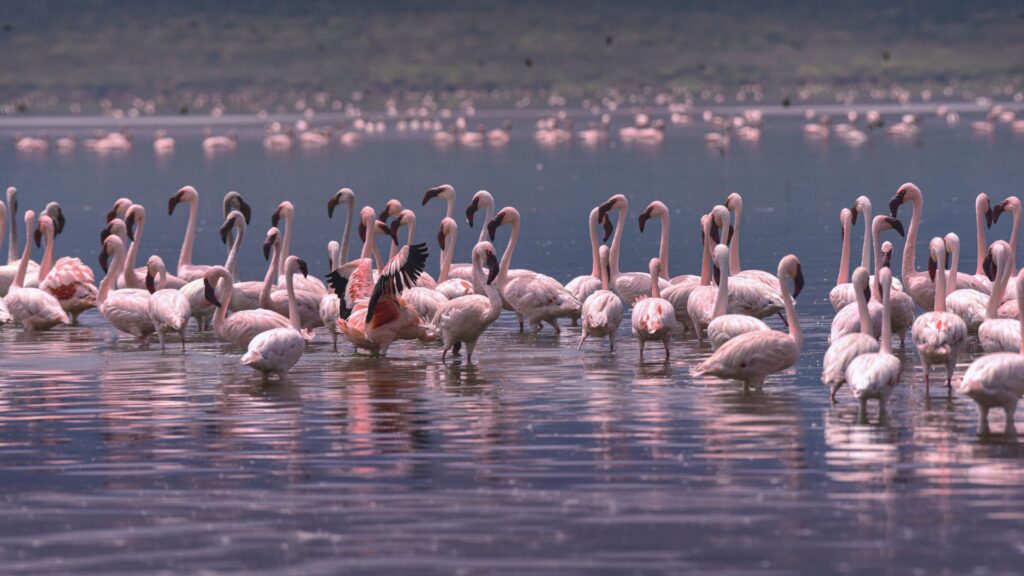
Flamingo
Phoeniconaias minor & Phoenicopterus roseus
The seven alkaline Momella Lakes, each a different mineral-tinted colour, draw large flamingo flocks year-round.
Birdlife
400+ Bird Species
—
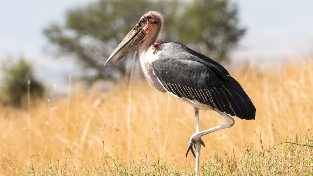
From crowned eagles over the forest to wading birds on the lakeshore, Arusha is one of northern Tanzania’s richest birding parks for its size.
Four faces of Arusha National Park
The park’s three founding landscapes, plus its forested entrance zone, each offer a different experience — pick a focus for your visit.
01
Ngurdoto Crater
Known as "Little Ngorongoro," this grassland crater is viewed from rim viewpoints only — a compact, dramatic landscape home to buffalo, warthog, and giraffe.
BEST FOR: VIEWPOINTS · SHORT VISITS
02
Momella Lakes
Seven shallow, alkaline lakes in striking mineral-tinted colours, drawing flamingos and other waterbirds — explored by vehicle, on foot, or by canoe.
BEST FOR: BIRDLIFE · CANOEING
03
Mount Meru & the Forest Zone
Montane forest cloaking Meru's lower slopes, home to colobus and blue monkeys, and the starting point for the multi-day trek to the summit.
BEST FOR: TREKKING · PRIMATES
04
Buffalo Glade & the Entrance Forest
A natural glade near the Momella gate that's a reliable feeding ground for buffalo and giraffe, and the starting point for the park's popular walking safaris.
BEST FOR: WALKING SAFARIS · EASY ACCESS
When to visit
Arusha National Park can be visited year-round, but the dry season offers the clearest chance of a full view of Mount Meru’s summit.
Season
Months
Conditions
Highlights
Dry season / peak
Jul - Oct
Dry and clear — the most reliable period for summit views.
Best conditions for walking safaris, canoeing, and photographing Mount Meru.
Skies clearing
Jun
Rains easing, visibility steadily improving.
A good transitional window with fewer visitors than peak season.
Short rains
Nov - Dec
Brief afternoon showers, landscape greening up.
Flamingo numbers can build on the Momella Lakes; fewer crowds.
Short dry spell
Jan - Feb
A brief warm, mostly dry interlude between the rains.
Often clear morning views of Meru and Kilimanjaro before afternoon cloud builds.
Long rains / green season
Mar - May
Heaviest rainfall of the year; Meru's summit is often cloud-covered.
Lush forest scenery, excellent birding, and the quietest, cheapest time to visit.
Getting there & getting around
By air
Arusha Airport (ARK) is the closest airstrip, with Kilimanjaro International Airport (JRO) about 45 minutes further away.
Most visitors reach the park by road rather than air, given its proximity to Arusha town.
By road
Around 25–45 minutes’ drive from Arusha town via the Ngongongare (Momella) Gate — the closest national park to the city.
Often combined as a half-day or full-day trip before or after a longer northern-circuit safari to Tarangire, Manyara, Ngorongoro, or Serengeti.
Main entry gates
Ngongongare GateMain entrance, closest approach from Arusha town
Momella GateNortheastern entrance, starting point for Mount Meru treks and lake walks
Inside the park
Guided walking safaris are permitted here — unusually for Tanzania — always accompanied by an armed park ranger.
Off-road driving is prohibited; vehicles must stick to marked tracks, and the Ngurdoto Crater floor is viewed from the rim only.
Canoeing on the Momella Lakes is available seasonally, subject to water levels and park regulations.
Park fees & rules, at a glance
Entry fees (non-resident foreign visitors)
Published TANAPA rates for adults have generally sat in the roughly US $45–50 per person, per 24 hours range in recent years — typically lower than Tanzania’s larger parks — with children discounted and under-5s free.
An 18% VAT typically applies on top of quoted rates.
Walking safaris and Mount Meru trekking usually carry separate guide and ranger fees.
Fees are reviewed periodically by TANAPA — always confirm current pricing directly with TANAPA or your operator.
Park etiquette & rules
Stay inside your vehicle at all times except at designated picnic, viewpoint, or walking-safari areas.
Keep a respectful distance from wildlife, particularly buffalo, which can be unpredictable on foot.
Never feed or attempt to attract animals; keep noise to a minimum.
Follow your ranger’s instructions closely during any walking safari.
Stavo Adventures itineraries in the Arusha National Park
Arusha National Park is easily visited from lodges in and around Arusha town, ranging from relaxed garden retreats to some of northern Tanzania’s most elegant coffee-estate properties.
Select
Kerama Silent Lodge
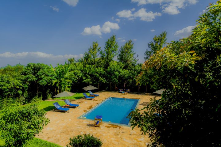
Kerama Silent Lodge offers a peaceful, garden-set base in the Arusha area, well positioned for a day trip into Arusha National Park or as a stop before a longer northern-circuit safari.
Reserve
Arusha Planet Lodge
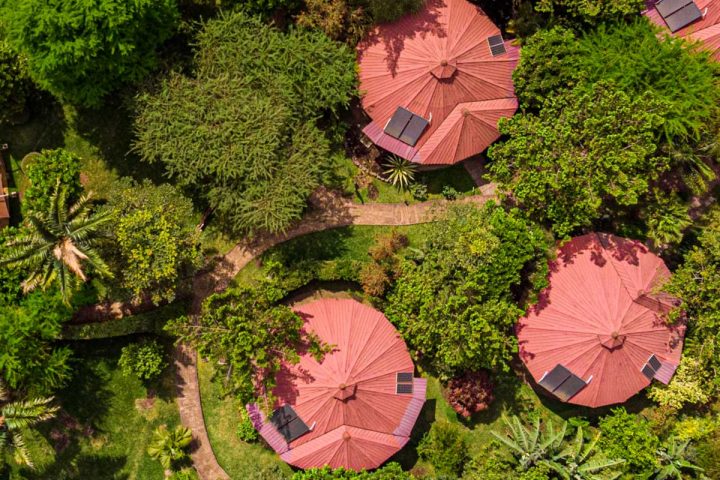
Arusha Planet Lodge (or nearby Rivertrees Country Lodge) provides comfortable, well-appointed rooms set in lush grounds close to Arusha town, an easy drive from the park gate.
Private Collection
Arusha Coffee Lodge
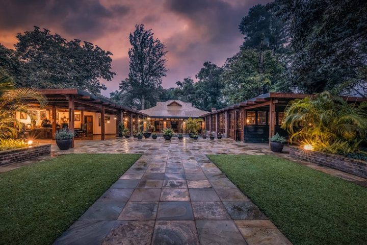
Arusha Coffee Lodge is set amid a working coffee plantation on the edge of Arusha National Park, offering elegant cottages, fine dining, and easy access to Mount Meru and the Momella Lakes (with Gran Melia Arusha and Legendary Lodge as further Private Collection alternatives in the area).
Before you go
A few practical notes to help you prepare for a visit to Arusha National Park, from what to pack to what to expect on the ground.
What to pack
Sturdy walking shoes — this is one of the few parks where you’ll likely be on foot for at least part of your visit.
Layers for cooler, higher-altitude conditions on Mount Meru’s lower slopes.
A wide-brimmed hat, sunglasses, and high-SPF sunscreen.
Binoculars — useful for spotting colobus monkeys in the canopy and flamingos on the lakes.
A light rain jacket if visiting during the long rains (March–May).
Health & documents
A yellow fever vaccination certificate is required for travellers arriving from, or having transited, certain countries — check current Tanzanian entry requirements before you fly.
Malaria risk is present, though somewhat lower at the park’s higher elevations; consult a doctor about prophylaxis regardless.
A valid passport (with the validity/blank-page margin your airline requires) and Tanzanian visa, arranged in advance or on arrival depending on nationality.
Travel insurance that explicitly covers safari and trekking activities is strongly recommended if you plan to hike Mount Meru.
Money & connectivity
US dollars (cash, newer notes) and international cards are both commonly used for park fees and lodges — confirm accepted methods with your operator ahead of time.
Mobile signal is generally reliable given the park’s proximity to Arusha town.
Tipping guides, rangers, and camp staff is customary; ask your operator for typical local guidance.
Getting the most from a visit
Book a guided walking safari — it’s one of the park’s signature experiences and unavailable in most other Tanzanian parks.
Visit on a clear dry-season morning (July–October) for the best chance of seeing Mount Meru’s full summit.
If time allows, canoe the Momella Lakes for a different perspective on the park’s birdlife.
Combine with a short trip into Arusha town, or use it as an easy first or last stop on a longer northern-circuit itinerary.

 Dutch
Dutch Spanish
 French
 Russian
 Chinese